Eddy Covariance (EC) is a crucial method for measuring the exchange (the flux) of energy, water vapour and other gases like carbon dioxide & methane, between the Earth's surface and the atmosphere.
The system detects turbulent air flows ['eddys'] using sonic anemometers, which calculate vertical wind velocity, and gas analysers that measure scalar entities like CO₂. With clever science and lots of maths we can use these measurements to work out how much Greenhouse gases (GHG's) is being emitted from the immediate local area of the instrument.
 |
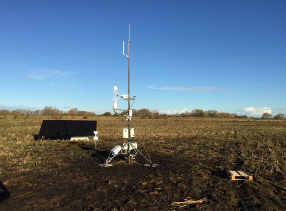
The instruments need to be the correct height above the ground surface or the upper surface of the vegetation so they're often mounted on masts or towers. We tend to use the term flux tower no matter what the actual structure is. The one pictured is a few metres high as the vegetation is expected to grow to about two metres. But in a woodland the instruments might be mounted on a very tall scaffolding structure in order to be above the tops of the trees. The particular flux tower pictured here is powered by a solar panel bank (in the background on the left). It has storage batteries for operation at night and the setup includes a rain gauge, a water-table sensor under the ground and also soil moisture and temperature monitors. |
Straight into the terminology: In the context of Eddy Covariance "scalar entities" refer to quantities like heat, water vapour, and gases (e.g., carbon dioxide or methane) that are transported by turbulent airflows but don't have a directional component. Unlike wind velocity, which has direction, scalar entities are properties measured at a specific point without directionality, representing the concentration or intensity of the substance being studied. EC systems track how these entities move between the Earth's surface and the atmosphere to understand fluxes like evapotranspiration and carbon exchange.
The micrometeorological measurements made by the EC method allow researchers to quantify and understand the spatial and temporal variations in CO₂ storage in plants, soils and the atmosphere and to monitor exchanges between them. This is vital for understanding how peatlands and other ecosystems, capture, store and release greenhouse gases under changing conditions such as climatic variations or differing management regimes.
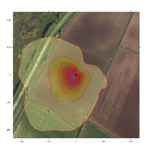
In contrast to local sensors, EC captures data from a dynamic "footprint," which varies based on wind, vegetation, and terrain. Careful site selection and sensor alignment are therefore essential to minimise errors caused by surface irregularities or nearby objects.

